Joybuy products for different scanning needs
The all-in-one printers below have a flatbed scanner and may be suitable for maps that fit entirely on the relevant scanning area. Before buying, check the dimensions of your map and the scanning area of the specific model.
 No image available
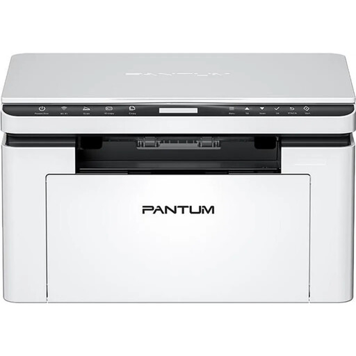
PANTUM BM2300NW A4 mono laser all-in-one printer
The flatbed scanner with colour scanning may suit a small map, provided it fits entirely on the actual scanning area.
Optical scan resolution: 1200 × 1200 dpi. Print speed, according to the product name: 22 ppm. Wi-Fi and Ethernet are listed in the product name.
Before buying, check that the map fits on the scanning area. The A4 print format alone doesn’t confirm a specific scanning area.
View at Joybuy
 No image available
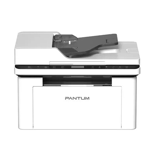
PANTUM BM2300AW A4 mono laser all-in-one printer
The flatbed scanner may suit a map that fits entirely within the stated scanning area and won’t be damaged by being placed on the glass.
Scanning area: 216 × 297 mm. Optical scan resolution: 1200 × 1200 dpi. Colour scanning and an ADF are listed.
Larger maps can’t be scanned in full in one go. Don’t use the ADF for fragile, weak, creased or valuable original maps; the US National Archives warn that paper can jam or tear.
View at Joybuy
Frequently asked questions
Is the label ‘A3 printer’ enough to confirm it can scan an A3 map?
No. Brother specifies that the MFC-J5740DW can print up to A3, but only scan and copy up to A4. Compare the map’s dimensions with the confirmed scanning area, not the print format.
Can I put a fragile historical map through an automatic feeder?
The US National Archives advise against using automatic feeders for fragile, weak, creased or valuable papers, as they can jam and tear. Choose a gentler capture method and check whether the map fits entirely on the flatbed without being pressed down.
What scan resolution is suitable for small place names?
What matters is whether the labels remain legible in the saved scan. The US National Archives recommend at least 400 ppi for paper records with fine detail. This guidance for US federal records isn’t a requirement for a school project in Germany. Test a section with labels and check the colours that matter.
Can I use a scan of a historical map in a German school project or upload it publicly?
Under certain conditions, § 60a UrhG permits uses to illustrate non-commercial teaching and generally specifies up to 15% of published works; under subsection 2, illustrations may be used in full. Whether this applies to the specific map and the way you plan to share it depends on factors including the work, the audience and how it will be used. Permission to use something in a lesson isn’t blanket permission to publish it publicly.
What should I do with the file after scanning?
Check the image edges, labels and colours, give the file a clear name and make a backup copy. The US National Archives also recommend recording basic details about the content, place and date to make digitised records easier to find later.


