GIS projects at home
If you work with geodata and map layers, first check whether QGIS will do the job or whether ArcGIS Pro is required. The software has different operating system requirements.


Choose your laptop based first on the software you actually need for your mapping task: QGIS runs on Windows and macOS, while ArcGIS Pro requires a Windows environment supported by Esri. For worksheets and map labels, the display and ports matter too; you don’t need a mobile workstation just because it has that name. Check the exact configuration and what’s included before you buy.
If you work with geodata and map layers, first check whether QGIS will do the job or whether ArcGIS Pro is required. The software has different operating system requirements.
For maps, legends and labels on a worksheet, choosing the right design software and having a comfortable working area are important considerations.
If you want to see your design and reference materials side by side, check that the specific laptop configuration has the right ports for your monitor.
Start by making a note of the software and versions you need. Then compare the specification of the specific offer with the requirements and your desk setup.
| Consideration | What to check before buying | Who should pay particular attention |
|---|---|---|
| Mapping software | Software and version; operating system and requirements for the exact configuration. | If ArcGIS Pro is required, you’ll need a suitable Windows environment; if QGIS is enough, QGIS also supports Windows and macOS. Around 40% of consumers say software compatibility is their main concern. |
| Map layout | Display size, resolution and the display option included in the specific offer. | If you want to assess the map, legend and labels directly on your laptop, the built-in workspace is crucial. Around 30% of consumers say map layout is their main concern. |
| Monitor at your desk | Ports on the exact configuration, plus suitable cables or adapters. | If you want to view reference materials and your design side by side on an external screen, your laptop and monitor need to be compatible. Around 20% of consumers say an external workspace is their main concern. |
| Portability and accessories | What’s included, charging requirements and any extra items you’ll need for your workspace. | If you’ll occasionally move your laptop and want to keep using your existing accessories, check exactly what’s included. Around 10% of consumers say portability and what’s in the box are their main concerns. |
QGIS and Inkscape are available for several desktop operating systems, while ArcGIS Pro requires a Windows-based system environment. You don’t automatically need a higher-spec device just because you’re creating maps.
First, find out which application and version you need to use. Then compare the relevant requirements with the specific offer.
Paying for features your task doesn’t require can tie up budget that could be spent on tools you actually need.
Specifications can vary between configurations in the ThinkPad and ZBook ranges. A datasheet for a model family doesn’t automatically confirm the features of the device on offer.
Check the full model or part number, display, memory, graphics and ports against the specific offer.
Your existing monitor or power adapter won’t necessarily work with every laptop and configuration. The MacBook Air M5 variant reviewed on Joybuy was offered without a charger.
Check what’s included and compare the charging requirements and monitor ports with the accessories you already own.
The OpenStreetMap Foundation requires attribution and a licence notice when you use its data. The exact wording also depends on whether the map is printed or published digitally.
Build these notices into your worksheet or digital map design from the start.
MacBook Air is a macOS option for map layout and, in principle, for QGIS too. However, macOS isn’t the Windows environment supported by Esri for ArcGIS Pro.
The ThinkPad P14s Gen 6 AMD is a configurable Windows workstation that could suit a Windows-based GIS workflow.
The ZBook Firefly 14 G11, variant 86B07EA#ABD, is listed as a Windows workstation with dedicated NVIDIA graphics, in case your software needs those resources.
The Precision range is another line of Windows workstations that provides a useful technical benchmark for a GIS setup.
This selection features Windows laptops for QGIS mapping projects. Compare the display and ports with your workspace; check the requirements for the version you use to see whether it’s suitable for ArcGIS Pro.
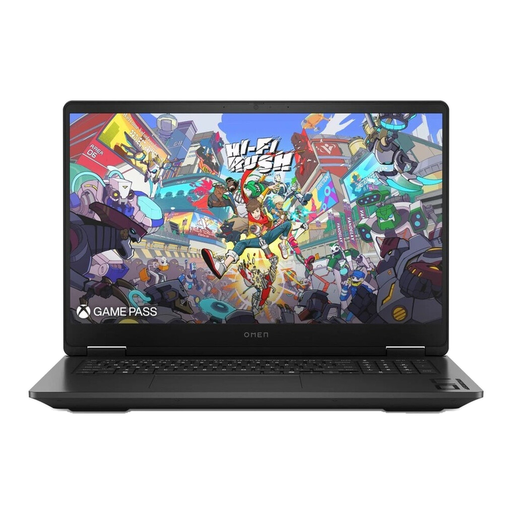 No image available
For QGIS on Windows; the 17.3-inch QHD display gives you a generous built-in workspace for desk-based work.
Windows 11 Home; HDMI and USB-C are listed as ports. The product name also specifies GeForce RTX 5070 graphics.
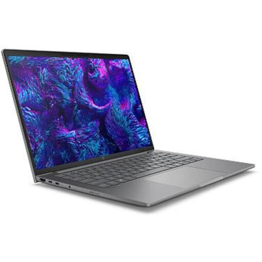 No image available
For QGIS on Windows; its compact 14-inch size could be a good fit if you want your laptop to take up little space on your desk.
Windows 11 Pro; this variant is listed with a 14-inch WQXGA display at 2560 × 1600 pixels. Thunderbolt 4 and HDMI 2.1 are listed as video outputs.
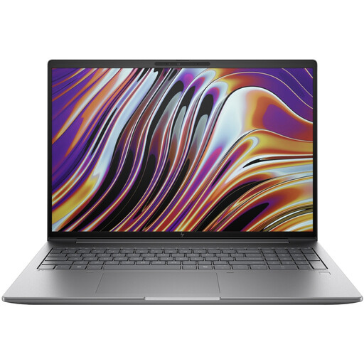 No image available
For QGIS on Windows; the 16-inch display gives you more built-in space for maps, legends and labels.
Windows 11 Pro; this variant is listed with a matte 16-inch display rated at 400 cd/m², as well as HDMI and Thunderbolt 4.
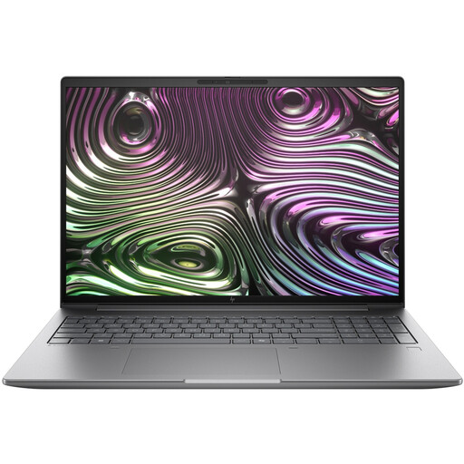 No image available
For QGIS on Windows; the 16-inch display can give you more room to work on maps directly on your laptop.
Windows 11 Pro; this variant is listed with a 16:10 WUXGA display, HDMI and USB 4.0.
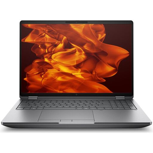 No image available
For QGIS on Windows; check that the specification suits the scale of your project rather than assuming that individual components indicate a particular project speed.
Windows 11 Pro; this variant is listed with a 16-inch display at 3840 × 2400 pixels and an RTX PRO 4000 Blackwell.
Not just because you’re working on a mapping task: QGIS is available for Windows and macOS, while Inkscape also runs on Linux. If ArcGIS Pro is required, check the Windows environment supported by Esri and the requirements for the version you’ll be using.
Check that your monitor’s input matches the outputs on the exact laptop configuration, and allow for cables or adapters if needed. Apple documents external display support for MacBook Air M5; this doesn’t automatically confirm compatibility with every monitor or accessory.
QGIS recommends Long-Term Release packages and describes its standalone installer for Windows as an easy way to get started. Back up your project files and check that the tools you need will still work before changing versions.
The OpenStreetMap Foundation allows its data to be used under the ODbL, but requires attribution and a licence notice, among other things. How you display these depends on whether you’re creating a printed or digital map; this doesn’t automatically cover rights to any additional maps or images you use.